From 120 metres above Moa Island, the Torres Strait looks like it always has, a mosaic of water and sand and reef and mangrove, stretching to the horizon in every direction. But look closer at the shoreline, and you can see where the island ends now versus where it ended a decade ago. The sea is advancing. The land is retreating. And the communities living there are watching it happen in real time.
The Torres Strait is one of the most climate-vulnerable places in Australia. These low-lying islands, scattered across a shallow sea between Cape York Peninsula and Papua New Guinea, sit barely above sea level. Storm surges that were once rare events now arrive with regularity. Beaches that elders remember from childhood have disappeared. Freshwater lenses beneath the islands are being contaminated by saltwater intrusion. The threat isn't abstract. It's measured in metres, in seasons, in the slow erosion of Country that has been home to Torres Strait Islander communities for thousands of years.
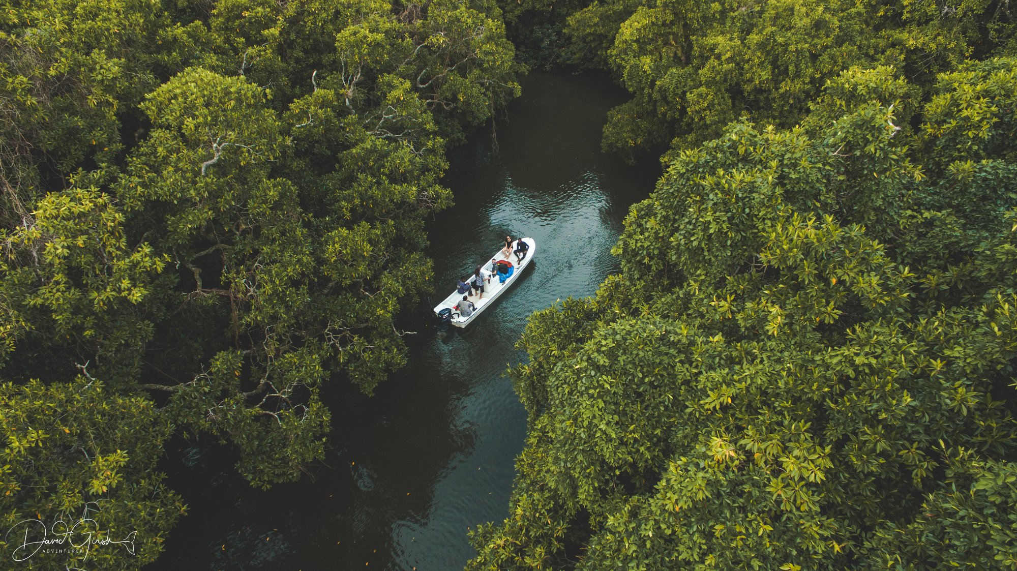
Through Envirotech Education, we've been working with local communities to build something practical in response: a drone-based coastal monitoring program that puts the mapping tools directly in the hands of Torres Strait Islander rangers. The idea is straightforward. Regular drone surveys create a baseline. Subsequent surveys track change. Over time, you build a dataset that documents exactly what is happening to specific coastlines, in specific locations, across specific timeframes.
These aren't just maps for their own sake. They're evidence, for land management decisions, for grant applications, for legal arguments about climate responsibility, for negotiations with government over infrastructure and adaptation funding. When a community can show exactly how much beach has been lost in three years, and exactly where the erosion front is moving, those conversations change.
PUTTING THE TOOLS ON COUNTRY
The training component is as important as the technology. External consultants flying in to survey remote communities and flying out again with the data is not conservation, it's extraction. What matters is building local capacity: rangers who can operate the equipment, process the imagery, interpret the outputs, and maintain the monitoring program indefinitely, without depending on anyone from the mainland.
"This is our Country. We've been watching it our whole lives. Now we have a way to show other people what we've been seeing."
The training pathways we've developed through Envirotech Education lead to nationally recognised qualifications, drone operator certifications, Certificate II and III in conservation land management. These aren't participation certificates. They're accredited credentials that open doors to employment, further training, and the formal recognition that rangers in the Torres Strait have been doing serious conservation work all along.
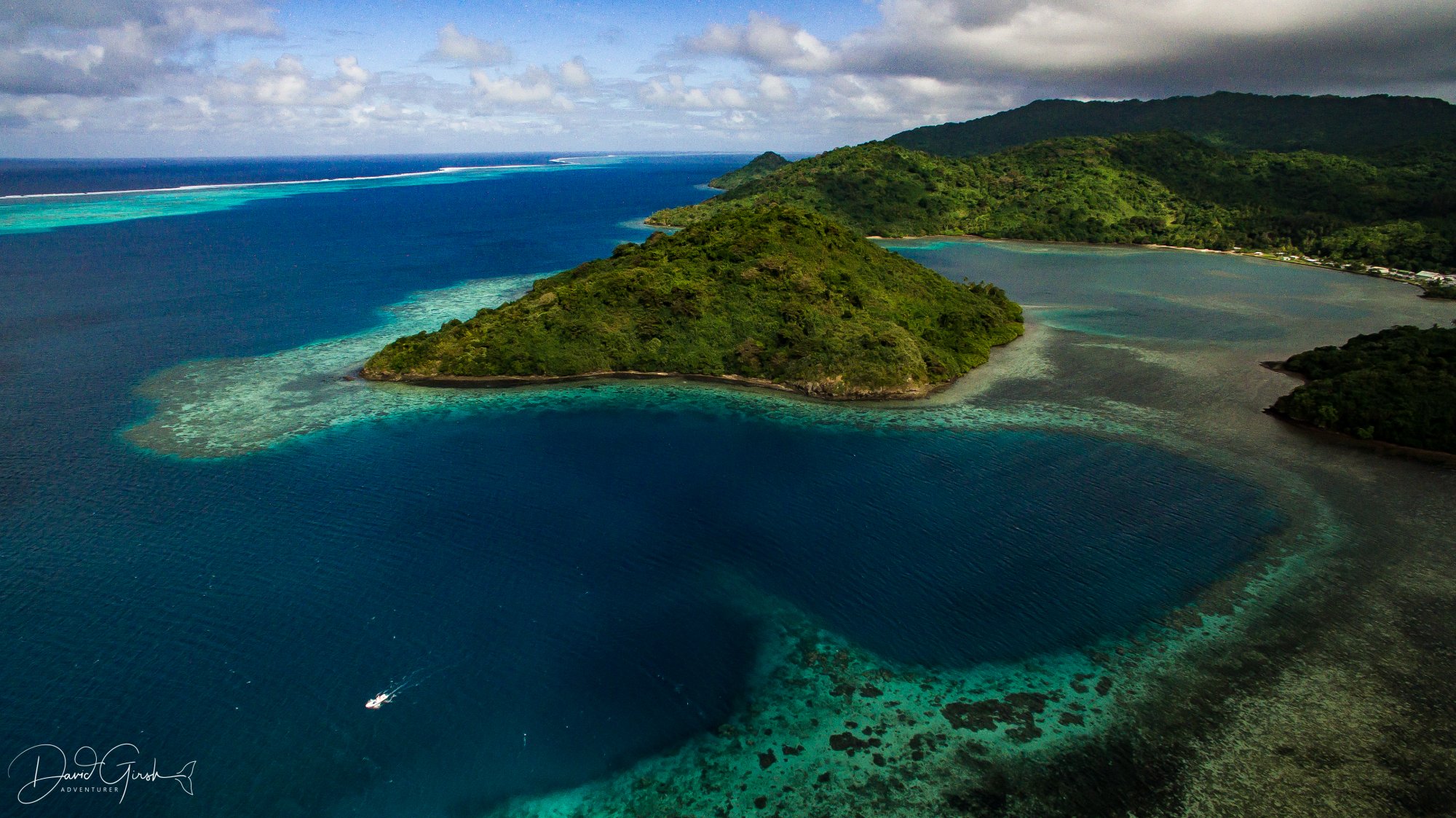
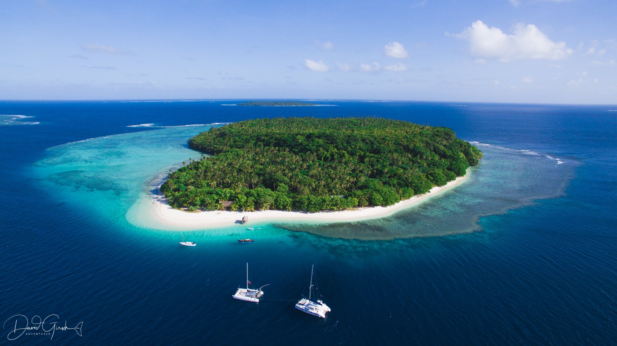
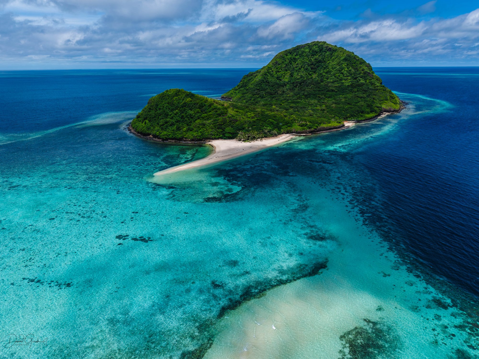
The surveys themselves are methodical. We establish consistent flight paths so that repeat surveys are directly comparable. We photograph the same transects at the same tidal stage. The imagery is georeferenced, pinned precisely to GPS coordinates, so measurements between surveys are accurate to centimetres.
What comes back from the drone is raw data. What we make of it, the change maps, the erosion rate calculations, the before-and-after comparisons, is where the story becomes useful. We've been working with rangers to build that analytical capacity too, not just the flying.
THE BIGGER PICTURE
Coastal mapping is one piece of a larger puzzle. Alongside the drone work, we're developing Indigenous Protected Area applications, seagrass monitoring protocols, and cultural heritage documentation programs, all through the same framework of community ownership and locally held expertise.
The Torres Strait will continue to change regardless of what any of us do. The question is whether the communities who live there have the tools, the documentation, and the political leverage to shape how that change is managed. Mapping is part of the answer. So is training. So is making sure the people who know this Country best are the ones leading its protection.